Home
Program Modifications
Parcel Index
ILMP Documents
Site Alerts
Contact/Feedback
Schedule
Links
Mosaic Home
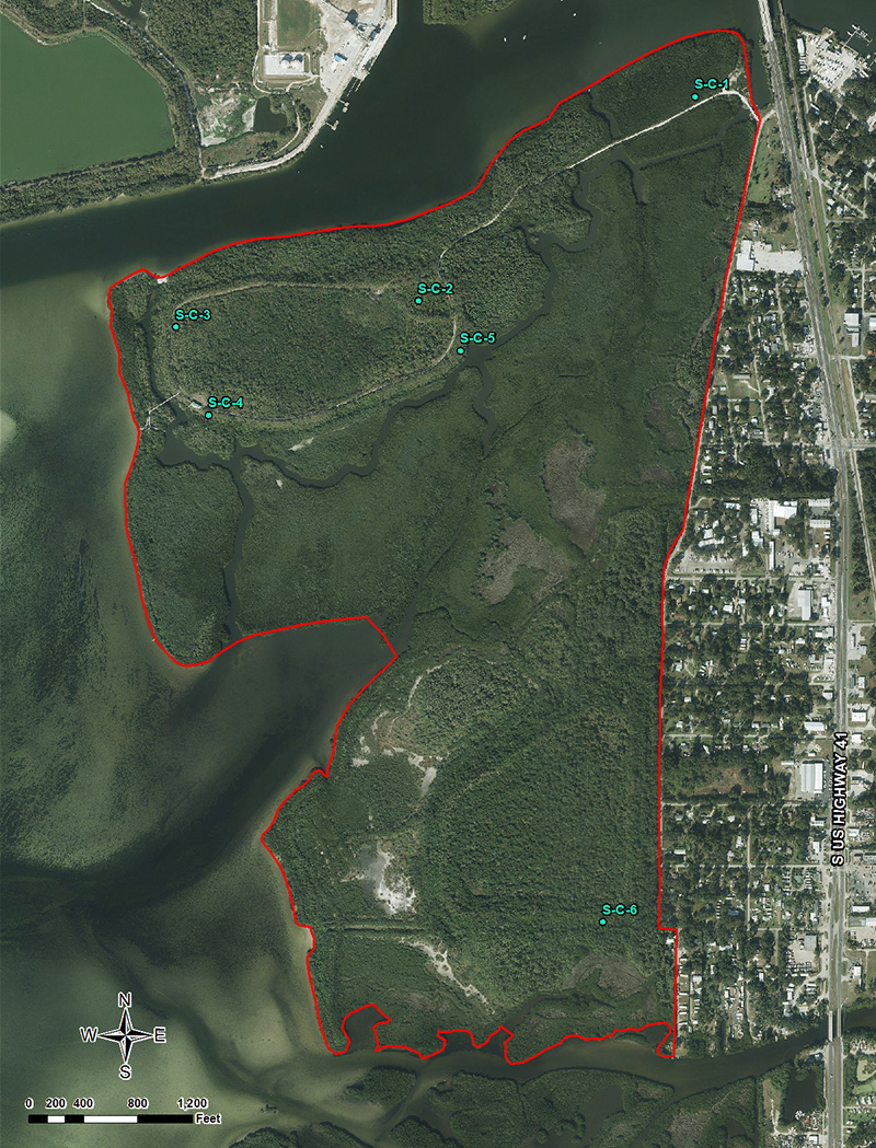
Characterization Photographs: South Parcel
Photographs taken: 12/12/2000
S-C-1
S-C-2
Looking Northwest
:
Mangrove swamp at north end of parcel
Looking Northeast
:
Cabbage palm upland at access road
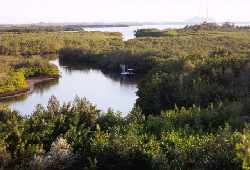
S-C-3
S-C-4
Looking East
:
Interior of settling area on north end of parcel
Looking South
:
Panorama overlooking mangrove, intertidal area
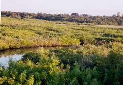
S-C-5
Looking East
:
Intertidal creek system
©2005-2024 Mosaic Fertilizer, LLC. All rights reserved.
Website maintained by ERM
|
Privacy Policy
|
Legal Disclaimer
|
Site Help