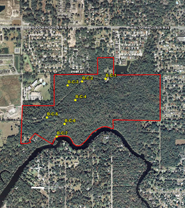
| B-C-1 |
B-C-2 |
 |
 |
| Looking Southwest: Buckhorn Spring water treatment area |
Looking Southeast: Buckhorn Spring pump station |
| |
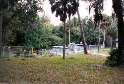
| B-C-3 |
B-C-4 |
 |
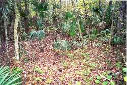 |
| Looking North: Upland live oak habitat |
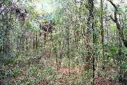
Looking Northeast: Hardwood wetland area south of access road |
| |
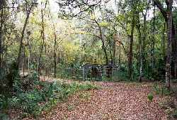
| B-C-5 |
B-C-6 |
 |
 |
| Looking East: Upland area along access road |
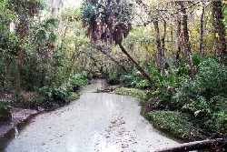
Looking Southwest: Buckhorn Creek at footbridge |
| |
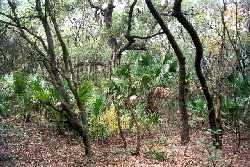
| B-C-7 |
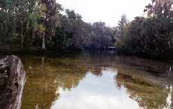 |
| Looking Southwest: Alafia River at discharge of Buckhorn Creek |
| |